
Permit to Dig and Utility Avoidance Software
A digital permit to dig that enforces every check before excavation starts: utility drawings on a map, CAT and Genny evidence, briefings at the point of work and hold points that cannot be skipped.


Most service strikes do not happen because a permit was missing. They happen because a check on the permit was skipped, done late, or done somewhere other than the dig. SiteAssist turns the permit to dig into a controlled workflow, so excavation cannot start until each control has been completed and evidenced at the point of work.
At a glance
- One standard permit to dig (permit to break ground) across every project and contractor.
- Utility drawings, exclusion zones and live permits shown together on a map of the site.
- Hold points for drawings review, CAT and Genny scans and photo evidence that cannot be bypassed.
- Briefings delivered and signed at the dig location, with attendance checked by geolocation.
- A complete, timestamped record of who did what, where and when, for every excavation.
Why service strikes still happen
Underground service strikes remain one of the most persistent high-potential risks in construction and infrastructure. Utility records, detection surveys and excavation procedures are well established, yet strikes continue. The gap is rarely documentation. It is whether the right control was applied, in the right place, before the ground was broken.
Paper and PDF permits make that gap easy to miss:
- Long permit packs discourage a proper read, and are often signed at the site office rather than at the dig.
- The dig location is described in words, so the area on the permit and the area excavated can differ.
- Hold points such as CAT and Genny readings can be ticked without evidence.
- Nobody can see, in one place, which excavations are live across the site right now.
- After an incident, the record has to be pieced together from paper.
How the SiteAssist permit to dig works
The permit follows your procedure step by step. Each stage must be completed before the next one opens.
- Request. The supervisor requests a permit on a phone and marks the excavation area on the site plan or map.
- Review the drawings. Utility drawings and survey layers are shown over the dig location, so the approver and the team are looking at the same ground.
- Locate and evidence. The team records detection results and uploads photos. The permit will not move forward until the required evidence is attached.
- Approve. The permit approver reviews and issues the permit. Extra approvals are added automatically where the answers call for them, such as work close to a known service.
- Brief at the point of work. A briefing is triggered when the permit is issued. Operatives sign by scanning a QR code, and attendance is checked against the dig location.
- Dig, then close out. Changes and extensions are logged with reasons. Post-permit checks confirm the excavation has been made safe before the permit is closed.
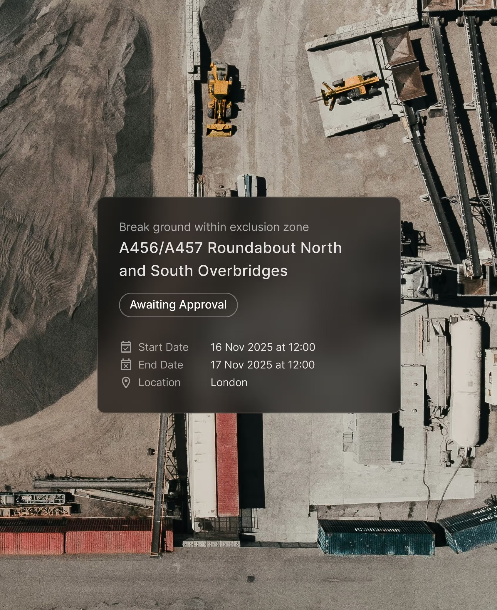
The checks that happen before the dig
Utility drawings on the map
Upload site plans and utility drawings as KML, KMZ, GeoTIFF or drone imagery. Layers can be switched on and off, so gas, electricity, water and telecoms can be viewed separately or together over the dig area. Exclusion zones can be drawn on the plan to restrict work in defined areas.
CAT and Genny evidence as a hold point
Detection is a hold point, not a tick box. The permit can require scan results and photographs before it can be issued, and each photo is checked automatically, including whether it was taken on site.
Briefings at the point of work
Briefings use check-in and check-out by location, so the record shows the team was briefed at the excavation and not in the cabin. Subcontractors sign by QR code with no app or account, and briefings can be delivered and signed without connectivity.
Approvals that adapt to the risk
Conditional logic changes the permit to fit the work. Ground conditions, depth, proximity to services or the type of plant can add questions, evidence requirements or a further approver, so higher-risk digs get stronger checks and routine ones are not slowed down.
A live view of every excavation
Every live permit to dig appears as a pin on the site plan, alongside inspections and open tasks. Supervisors and the site office see the same picture in real time: where ground is being broken, under which permit, and who is responsible. Across several projects, an organisation-wide map and dashboards show activity in one place, and the data is available to Power BI for reporting.
Results from Balfour Beatty and HS2
Balfour Beatty appointed SiteAssist as its digital permit partner in 2022 and mandated digital permits from January 2024. In 2025 it issued 97,810 digital safety permits, and its Annual Report 2025 records UK underground service strikes falling from 128 in 2024 to 84 in 2025, a reduction of 34%. Balfour Beatty attributes this to digital permits alongside a reinforced utilities avoidance procedure.
SiteAssist plays an important part in how we set people to work, and in the reduction in service strikes we have seen over recent years. Alongside our utilities avoidance procedures, it makes sure the right process is followed every time.
Lee Hewitt, Group Business Services Director, Balfour Beatty

On HS2 Area North, Balfour Beatty VINCI replaced a 150-page paper permit to break ground with SiteAssist, enforcing photographic evidence, CAT and Genny scans and geo-tagged briefings. Utility high-potential incidents fell from 12 in a year to 1 in the following year, with 44,000 permits issued and 3,600 users.
Read the Balfour Beatty case study or the BBV HS2 Area North case study.
Built around your excavation procedure
We start from your existing permit to dig and utilities avoidance procedure, not a blank template. Our team works through it with you: what must be checked, who approves, where the hold points sit and what evidence is needed. The workflow is then configured to match, and tightened where the paper version left gaps.
The permit can follow the sequence set out in HSE guidance HSG47, Avoiding danger from underground services: plan the work, locate the services, then excavate safely.
Frequently asked questions
What is a permit to dig?
A permit to dig is a formal authorisation to excavate. It confirms that utility records have been reviewed, buried services have been located and marked, the team has been briefed, and a named person has approved the work before the ground is broken.
Is a permit to break ground the same thing?
Yes. Permit to dig, permit to break ground and permit to excavate are different names for the same control. SiteAssist uses whichever term your procedure uses.
Can we use our own utility drawings and surveys?
Yes. Site plans and utility drawings can be uploaded as KML, KMZ, GeoTIFF or drone imagery and viewed as layers over the dig location.
Do subcontractors need an account?
Not to be briefed. Operatives sign the briefing by scanning a QR code, with no app or account needed.
How long does it take to set up?
It depends on how many permit types and projects are involved. We configure your permit to dig from your current procedure and support the rollout on site. See the full FAQ.
See the permit to dig in action
Request a demo using the button at the top of this page and we will walk you through the permit to dig against the kind of excavation work you manage. You can also explore the platform or read the whitepaper on keeping control of work at scale.
47 England LN
NW3 4YD, London
United Kingdom


